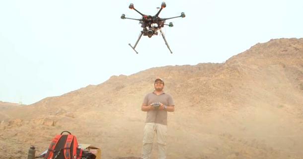
In a race against time, archaeologists armed with a fleet of drones have been tirelessly working to map the legal boundaries of Peru’s ancient ruins for the last few years.
Section:

In a race against time, archaeologists armed with a fleet of drones have been tirelessly working to map the legal boundaries of Peru’s ancient ruins for the last few years.