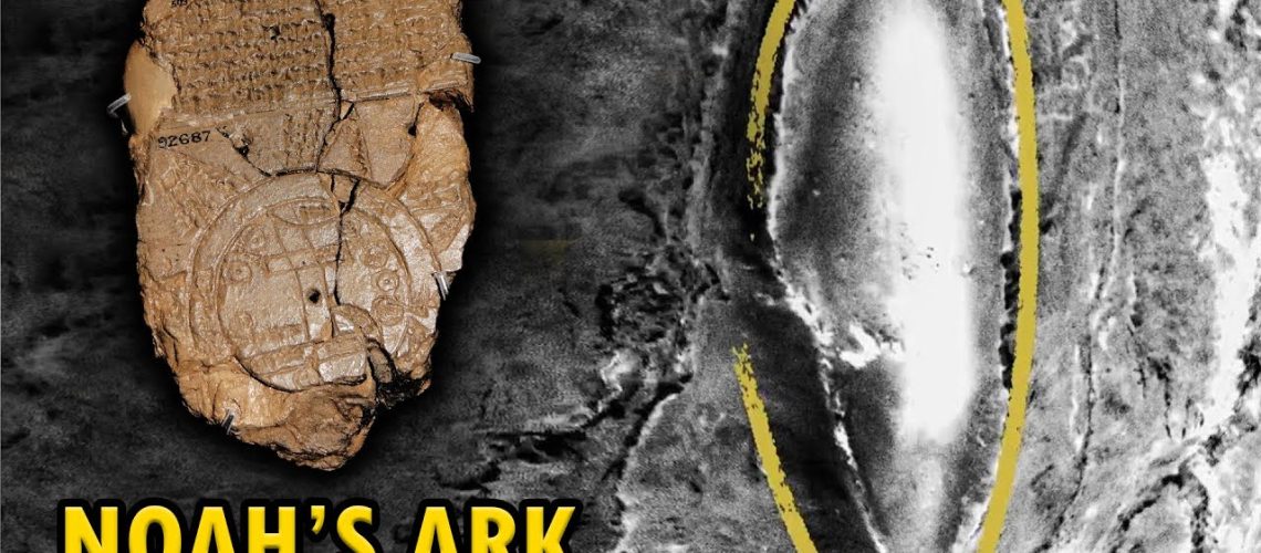
In the vaults of the British Museum, there lies a palm-sized clay tablet that could rewrite our understanding of the world’s earliest cartography — and perhaps the location of Noah’s Ark. The object in question, known as the Babylonian Map of the World or Imago Mundi, dates from the 6th century BC, a time when Babylon stood as the intellectual heart of the known world.
Pre-Historic Megastructures eBook: https://universeinsideyou.systeme.io/prehistoric-megastructures
This almost 500-page eBook includes images and contains over 30 of the most remarkable pre-historic megastructures on the globe. Megastructures that defy any explanation and suggest the use of advanced technology.
Join us on:
Instagram: https://www.instagram.com/universe.inside.you
Facebook: https://www.facebook.com/universalloving
For Spanish-narrated videos, visit our Spanish channel: https://www.youtube.com/channel/UCrj10lembQkoijcXv6Bn55g/
#universeinsideyou
source


